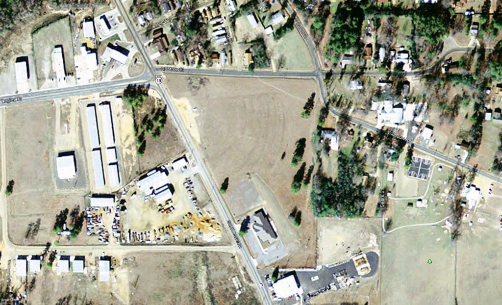
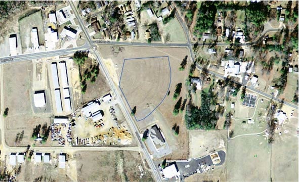
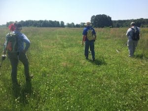
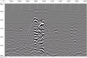
Our staff members were out collecting gradiometer data at the Haley site (3MI1) earlier this week. The gradiometer is a very useful instrument that can, under certain circumstances, identify buried archeological features without digging them. We are processing the data, but a friend-of-the-station asked on Facebook for more of the backstory on the place. So, here we go!
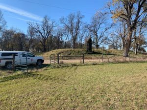
The site lies in Miller County, near an old channel of the Red River. It consists of two known mounds (Mound A and Mound B), one of which, Mound A (see picture), is built into the levee. Mound A used to be much taller, but was knocked down in recent decades.
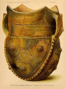
While we know *of* the site, we don’t know a ton about it. We know of it because it was one that Clarence B. Moore and his crew dug at in the 1910s. The pots recovered were lavishly illustrated in his 1912 Some Aboriginal Sites on Red River. Those illustrations became the basis for two pottery types widely used by archeologists to study Caddo pottery, both of which are named for the site. These are Haley Engraved and (see picture) Haley Complicated-Incised (Suhm and Jelks 1963:59-62).
Since Moore’s digging, there has not been, frankly, substantial digging at the site, but not a lot of archeology. There was a major excavation there in the 1960s, but this was geared towards collecting pots, and this was never written up, so we don’t know what was found, where it was found, and what more we can learn about Caddo and Arkansas history from it.
Our trip out was the first effort in both better understanding the site by getting a glimpse of the off-mound buried aspects of it, and a chance to document the past century’s history of digging there, to know how extensively it was disturbed and try to salvage some information in the wake of these activities. We are taking a similar tack with the Lockesburg Mounds site, which will be the location of next year’s Arkansas Archeological Society Training Program. You can join the Society and aid in learning about, preserving, and protecting Arkansas’s and Caddo heritage by clicking here!

